
Vista ZIP Codes at a Glance
Four ZIP Codes appear in the documented Vista research. Their relationships are useful, but address-level verification remains the rule. The post-office column names the reliable channel rather than guessing at current station assignments, because the research did not confirm a stable public station list.
| ZIP | Areas and relationship to Vista | Post office or verification | Notes |
|---|---|---|---|
| 92083 | Central and northwest Vista, including the Vista Village area | USPS ZIP Code Lookup and local postal service | Primarily Vista postal identity; verify each address |
| 92084 | Eastern and northeastern Vista, Civic Center and surrounding areas | USPS lookup and Vista postal service | Urban and lower-density eastern areas; not a city-limit line |
| 92081 | Southern Vista, Shadowridge, and business or industrial corridors | USPS lookup | Touches nearby jurisdiction edges; use the full address |
| 92085 | Vista PO Box ZIP | USPS lookup and local post office | Non-geographic or PO-box use; not a residential polygon |
“Vista” in a mailing label is a useful starting point, not proof of incorporation. ZIP boundaries can include fringe addresses, and a city parcel can use a different postal identity. Keep the address, ZIP result, and city-limit result as separate fields.
Note: ZIP 92085 is treated as a PO Box ZIP in the research, not a mapped residential area.
Find Vista Residents by ZIP Code
A ZIP search is most reliable when it narrows a source that already supports an address, city, or ZIP field. Do not treat a ZIP as if it were a property key. Use it to confirm delivery geography, sort a lawful set of results, or compare a postal area with the city map.
- Enter the full address. Use USPS ZIP by Address with street, city, and state rather than a neighborhood label.
- Confirm the postal city. Record the returned ZIP and city string, including any edge or alternate postal identity.
- Compare the city map. Check Vista city limits, sphere of influence, annexation, and planning layers.
- Choose the record key. Use address or street name for the assessment roll, APN for parcel work, and name or case number for courts.
- Keep the ZIP as context. A ZIP result frames the search but does not establish ownership, occupancy, or household membership.
The public San Diego County assessment portal documents address and street-name modes, not a ZIP filter. Some California license tools accept ZIP, city, county, or address fields, while VoterStatus is an authenticated personal service rather than a ZIP directory. The filter must be read from the live form for the record type in question.
Note: The assessor form documents address and street-name modes, not a confirmed ZIP filter.
Vista ZIP Directory Main and Annex
USPS operational publications add a useful historical clue. A 2009 Postal Bulletin recorded a labeling change involving 92081 and 92085. A 2012 bulletin grouped 92081 and 92085 under “VISTA MAIN CA 92085” and 92083 and 92084 under “VISTA ANNEX CA 92083.” These labels describe delivery-unit organization. They do not define current retail stations, neighborhoods, ZIP types, or the city boundary.
The USPS ZIP Code Lookup remains the correct current address check. Search by complete address when a record, map, or directory shows only “Vista, CA.” A PO Box ZIP such as 92085 should not be drawn as a polygon around homes.
The USPS interface capture shows the address and city-by-ZIP routes.
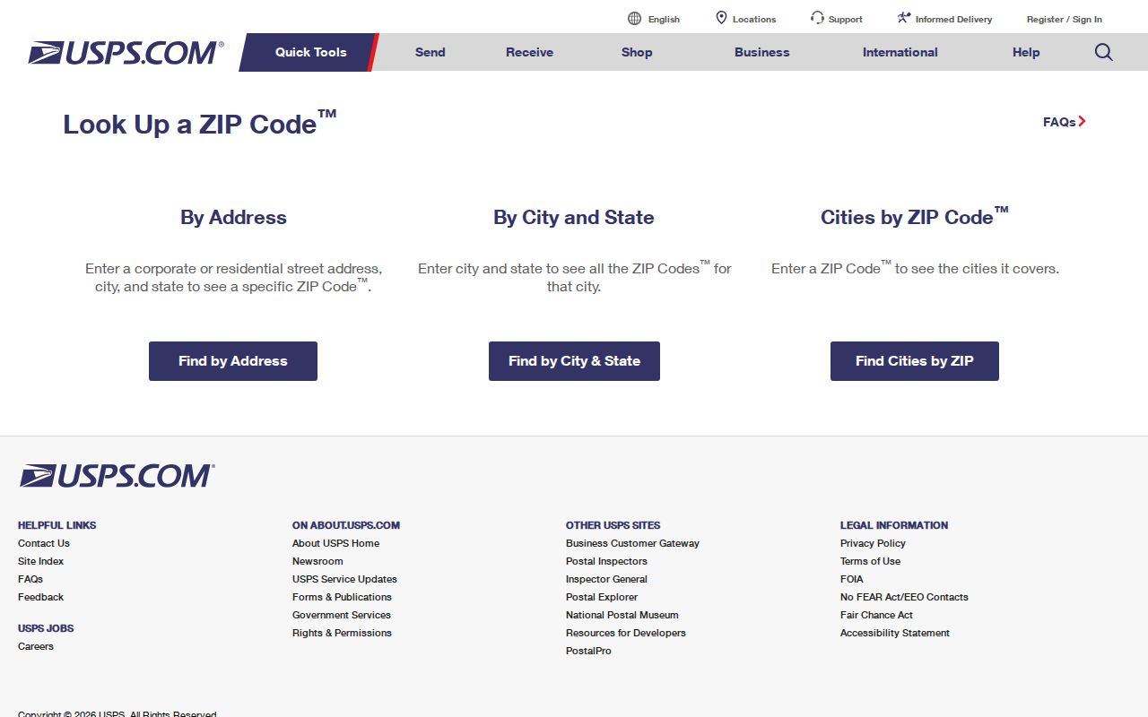
Use the returned address-level answer as the postal fact, then move to the relevant custodian for people or parcel records.
| USPS mode | Input | Result |
|---|---|---|
| ZIP Code by Address | Full street address, city, and state | Delivery ZIP and standardized address response |
| Cities by ZIP Code | ZIP Code | Postal city or cities associated with the code |
| Address check | One ambiguous Vista address at a time | Verification before a parcel, license, or historical search |
The Vista ZIP code directory remains a postal reference; move to the parcel or records custodian for a person question.
Note: USPS delivery-unit labels describe postal operations, not Vista neighborhoods or incorporated limits.
Vista 92081 ZIP Records
ZIP 92081 is associated in the research with southern Vista, Shadowridge, and business or industrial corridors. The geography matters because the south has a different records texture from older Downtown and Townsite addresses. Shadowridge growth since 1980 added about 3,500 units, while South Vista Business Park is described as roughly 1,600 acres with more than 900 national and international companies and about 14 million square feet developed or leased since 1986.
Those figures are context, not a household count for the ZIP. A ZIP search can locate a postal area, while a parcel, permit, business filing, or city planning record supplies the dated detail. Use street, APN, or entity keys after 92081 narrows the geography.
Vista 92083 ZIP Records
ZIP 92083 is linked to central and northwest Vista and the Vista Village area in the documented coverage table. Its postal area does not trace every municipal edge. A complete address should be checked in USPS, then compared with the city maps that show roads, limits, sphere-of-influence geography, parks, civic sites, and nearby jurisdictions.
For people research, keep the ZIP separate from the parcel and street. The San Diego assessment roll can search an address or street name and returns assessment facts. The recorder's index uses party names and recorded instruments. A historical directory may organize entries under a town or county title rather than a ZIP that did not exist in that form at publication.
Vista 92084 ZIP Records
ZIP 92084 covers eastern and northeastern Vista, including the Civic Center and surrounding areas in the researched geography. It includes both urban and lower-density areas, so a ZIP label alone says little about parcel form or household history. Downtown sits just north of State Route 78 and is surrounded by residential neighborhoods, while other eastern areas connect to lower-density land and changing planning boundaries.
The Vista FamilySearch Center's published address is in 92084, which makes the ZIP a practical clue for planning an in-person historical visit. The center advertises books and records, microfilms, computers, printers, scanners, and language help. Check its posted hours before travel.
The Vista FamilySearch Center listing supplies the current location information.
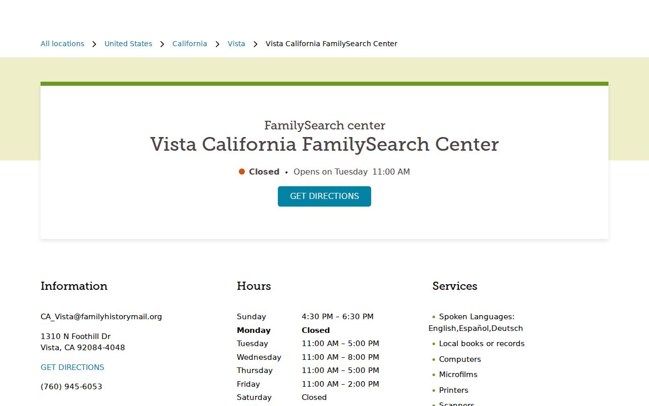
The center is an access channel for historical collections, not a current resident roll. Use the ZIP to find the place, then ask for the exact cataloged series.
Vista 92085 ZIP Records
Research identifies 92085 as a Vista PO Box ZIP, making it a non-geographic key rather than a residential polygon. Do not infer that a person with a 92085 mailing address lives inside one mapped neighborhood. Verify whether the address is a PO Box, a delivery point, or a full street address through USPS.
The record distinction is important. A mailing address can route tax or agency correspondence without being the situs of a parcel. A legal description anchors a deed to land. A ZIP routes mail. These three keys can coexist in one file while answering different questions.
Vista ZIP Lines Are Not City Lines
Vista's incorporated boundary is irregular and meets Oceanside, Carlsbad, and San Marcos. The city's 2030 Land Use map shows city limits, sphere of influence, roads, and land-use districts. Its Points of Interest map adds civic sites, parks, transit, and neighboring jurisdictions. The City GIS inventory includes postal ZIP boundaries and annexation history, but the interactive viewer displayed a sign-in gate during inspection, so the PDF maps and SanGIS remain fallback channels.
The Mar Vista planning record makes the jurisdiction issue current. The city documented notices beginning November 26, 2024, a community meeting on December 11, 2024, a Planning Commission recommendation on March 18, 2025, and a City Council hearing on October 14, 2025 for 108 parcels covering roughly 143 acres formerly under county A70 zoning. Older permits or zoning files may remain county-held while later records use a city path.
Use the Vista Land Use map and the Mar Vista planning record to preserve that jurisdiction context. The ZIP code directory is most accurate when it tells readers where postal geography ends and records geography begins.
Note: Preserve postal, parcel, and municipal results as separate fields when an address sits near an edge.
Vista ZIP Address Keys
An APN identifies a tax parcel. A situs address locates the physical parcel or structure. A mailing address routes correspondence. A ZIP Code supports delivery. A legal description anchors a recorded instrument. Search errors happen when one key is substituted for another. The assessor requires a full or minimum-length APN pattern in one mode, while a street search begins with street number and name.
- ZIP versus ZIP+4
- A ZIP Code is a delivery area key; ZIP+4 adds a narrower delivery segment. Neither is a parcel identifier.
- PO Box ZIP
- A postal code used for box delivery rather than a broad residential polygon.
- Carrier route
- A delivery planning unit inside a postal operation, not a city neighborhood.
- ZCTA
- A Census approximation for statistical reporting, not the USPS delivery boundary.
Once the ZIP is confirmed, use the Vista street directory for parcel and address work. A ZIP-only result should never be presented as a list of everyone who lives in the postal area.
Vista ZIP Search Sources
Some official searches accept ZIP as one of several filters. California alcohol-license lookup can use ZIP, city, county, census tract, address, name, or license modes. The automotive-shop locator accepts address, city, ZIP, geolocation, and service filters. The assessor form documents address and street-name paths but does not document a ZIP field. The California voter service authenticates the individual and is not a ZIP directory.
The State Controller's unclaimed-property index is a useful name and location clue because a result can show a reported owner, city, holder, and property category. It is not a Vista resident list and a claim requires identity evidence.
The California unclaimed-property search shows the state name-and-location route.
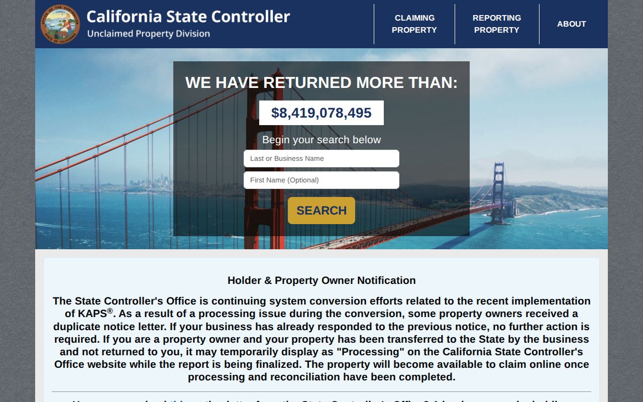
Use the result as a lead, record the city and ZIP shown, and then verify the person or event through the responsible custodian. A ZIP filter narrows a database; it does not change the database's legal purpose.