
Looking Up Your Vista Neighbors
A Vista neighbors search should say what each record contributes to the block. Parcels show shape and situs address. Assessment records show parcel and value facts. ARCC may provide lawful ownership information through its office channels. Permits show dated project roles. Voter information is restricted to personal or approved-purpose access. Community pages may publish a contact point, but no public membership roster was verified.
| Source | What it shows about a block | Access |
|---|---|---|
| Vista GIS parcels and address points | Adjoining polygons, site addresses, street lines, and map context | Interactive service, city maps, or data fallback |
| ARCC assessment roll | APN, assessment year, land and improvement values, exemptions | Free web search by address or street; owner names suppressed online |
| ARCC recorded instruments | Title parties and document sequence for a parcel | Index from 1970; kiosk image or ordered copy |
| City permits | Construction activity, project dates, applicant, owner, or contractor fields | Focused request by address |
| Voter information | Registered voters only through restricted statutory channels | Self-service or approved-purpose file, not a general block tool |
| Civic and association pages | Public officers, meeting points, or voluntarily posted contacts | Official organization or city page; membership not presumed public |
Neighbors are not interchangeable with owners. A parcel may be held by a trust or entity, and a public mailing address may be offsite. The block table is strongest when it maps physical relationships first and treats person-related details as dated, limited facts.
Note: A block table can map parcels and record roles without becoming a list of households.
Map a Vista Neighbor Block
The adjacent-parcel method starts at the target situs address and walks outward. The city parcel service supports map identify, address-point relationships, distance queries, pagination, and up to 2,000 records in the underlying service. A named consumer buffer button was not verified, so do not promise a radius feature that the public interface does not expose.
Use the process as a parcel inventory, not as a list of households:
- Locate the target. Search or pan to the full address and record the displayed situs address.
- Identify the parcel. Click the target polygon and save its APN, geometry, subdivision, and map date if shown.
- Walk the edge. Click each adjoining polygon and record its site address or APN without assuming the parcel owner is nearby.
- Add context layers. Compare city limits, ZIP boundaries, zoning, flood, school, park, district, and annexation layers.
- Switch custodians. Carry selected APNs to ARCC for lawful ownership or title research, and use permits for dated changes.
For the full named-street chain, use the Vista street directory workflow. The immediate block and the whole street answer different questions.
Note: The underlying GIS service supports distance queries, but a public consumer buffer control was not verified.
Vista Neighbor GIS Parcels
The City of Vista GIS display field is SitusAddress. The layer can expose parcel geometry and a human-readable site address, but the public city parcel layer does not expose owner names. The interactive endpoint displayed a username and password gate during research. Downloadable city map products and SanGIS or county mapping therefore remain valid fallback channels.
Documented layers include parcels, address points, street centerlines and names, city limits, annexation history, tract and subdivision lines, postal ZIP boundaries, schools, parks, election precincts, zoning and land use, flood overlays, water and sanitation districts, contours, and aerials. These layers explain the block's physical setting. They do not identify everyone who lives there.
The Vista 2030 Land Use map supplies a public PDF fallback. The Points of Interest map adds civic sites, transit, parks, and neighboring jurisdictions. Use both to understand a block's geography before asking a records office for a person-related fact.
Vista Neighbor Ownership Records
After the block map, use the San Diego County assessment roll by address, street name, or APN. The result can show parcel number, assessment year, land and improvement values, exemptions, taxable value, and change information. California Government Code section 6254.21 suppresses owner names from the internet result, so the web map and web roll do not produce an online neighbor list.
ARCC's phone, office, vendor, and kiosk channels bridge the missing field. The recorder index covers 1970-present, while APN searching moved to county office kiosks in December 2024. A recorded document gives grantor or grantee, type, date, number, and legal description. It still describes a title instrument, not current occupancy. Keep the APN and legal description for each parcel if the block history matters.
For Vista neighbors research, that document trail should stay labeled as ownership evidence rather than occupancy proof.
Vista Neighbor Permit Records
Permit records can show why a nearby parcel looks different over time. A Vista application may include permit or application number, type, project name and value, address, suite, APN, occupancy and construction data, floor area, existing and proposed use, description, owner or applicant, contractor, and inspection or final dates. Each field belongs to the filing date. It does not prove who lived at the site.
Ask the City Clerk or Development Services for a narrow address-specific history. The city says residential blueprints are not retained, so request permits, inspections, finals, and planning files instead of a plan set. A California Public Records Act request should identify the address, department, date range, and desired format. The ordinary determination window is ten calendar days, with a written extension of up to fourteen days for unusual circumstances.
| Block clue | Safe interpretation |
|---|---|
| Project address and APN | Connects the application to a parcel and time. |
| Owner or applicant | Person or entity named in the project record, not a complete household. |
| Contractor | Construction participant or business contact. |
| Inspection and final | Work milestones, not an occupancy date. |
Use the Vista public-records request route when the permit history is not online.
Note: Permit dates describe project activity and should not be converted into an occupancy date.
Vista Neighbor Voter Rules
California VoterStatus is a personal authentication tool, not a public street or block search. The full voter file is restricted under Elections Code sections 2188 and 2194, and use outside the statutory process can be a misdemeanor under section 18109. Approved political, governmental, scholarly, journalistic, and election purposes may qualify for a file request. Confidential voters, protected addresses, signatures, driver-license numbers, and Social Security data stay excluded.
A permitted request can include names, birth dates, registration dates, residence and mailing addresses, precinct, contact information, party preference, and optional history or district files. History shows election date, type, and voting method, never ballot choice. A neighborhood curiosity does not become an approved purpose merely because the address is public.
Use the California VoterStatus service for the individual using it. For civic geography, use precinct and district maps or public meeting records rather than trying to assemble a block roster.
Vista Neighbor Planning Areas
Vista planning geography includes Downtown Vista, Hacienda, Enclave at Delpy's Corner, Hidden Valley, Mar Vista, North County Square, Shadowridge, Sierra Verde, North Melrose Industrial Area, Agua Hedionda Creek, Sycamore Estates I and II, Townsite, and Vista Business Park. These names help sort maps, plans, and public meetings. They are not proof of a private association or a household directory.
| Public civic channel | Useful block context | Roster status |
|---|---|---|
| City maps and planning documents | Limits, land use, districts, streets, and annexation | Public geography, not members |
| City Council, boards, and commissions | Agendas, minutes, appointments, and public speakers | Named civic roles, not residents |
| Neighborhood or association page | Meeting point or public officer when voluntarily posted | No verified citywide public member directory |
| Community archive or library | History, newsletters, newspapers, and local context | Collection-specific and often in person |
No authoritative citywide inventory of Vista neighborhood associations or public member directories was found. Do not invent an HOA name, imply that a membership list is public, or treat a planning area as a private roster. Ask the organization directly for its public contact method when one is documented.
Note: No authoritative citywide public membership directory for Vista neighborhood associations was verified during research.
Vista Neighbor Data Compared
Official sources have named custodians and defined fields. Compiled neighbor products mix parcel, marketing, and historical data, which can confuse owners, occupants, former residents, and business contacts. Use a commercial result only as an unverified lead and compare it with the actual map, ARCC record, permit, or directly published civic contact.
| Official block research | Compiled neighbor data |
|---|---|
| Parcel geometry and situs address are tied to a map service | Address relationships may be merged or stale |
| ARCC title evidence has document dates and legal descriptions | Owner and occupant roles may be blended |
| Privacy restrictions and request rules are stated by the custodian | Collection and correction practices vary |
| A permit or civic record has a dated purpose | Context may be stripped from a copied result |
Federal court records are not a neighborhood source either. PACER can locate federal cases by party or case number, but an account and federal access rules apply. The PACER information page belongs in a source map only when a federal case is the actual question.
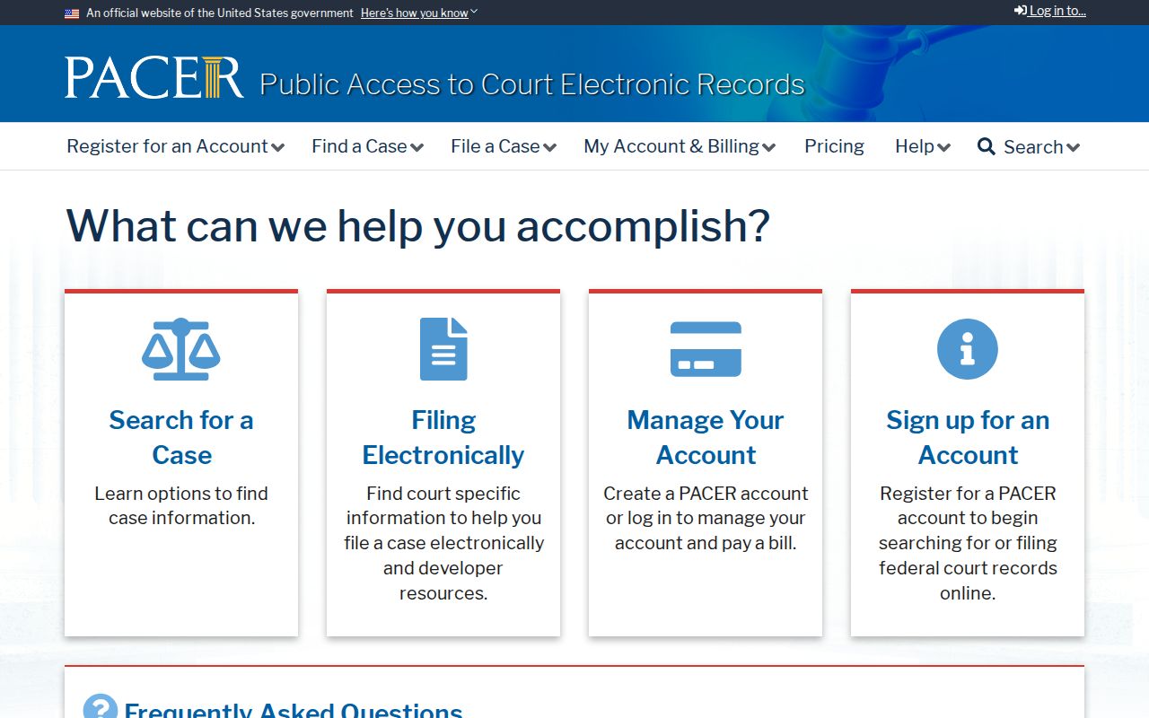
The PACER capture reinforces the boundary between a specialized case system and a block directory. Use the record for its defined federal purpose.
Privacy Limits on a Vista Neighbor Lookup
Renters, household members, minors, utility customers, delivery recipients, and protected participants are not assembled into a public Vista neighbors list. Safe at Home provides a substitute mailing address for eligible survivors and other protected people. The federal Driver's Privacy Protection Act limits motor-vehicle personal information. A public parcel map does not override those protections.
California's privacy tools also distinguish commercial data from official records. The Delete Request and Opt-out Platform can send one encrypted deletion request to more than 500 registered data brokers. It does not erase a deed, court file, assessment record, or lawful government copy. A record correction or protection question belongs with the custodian that holds the official file.
The California Privacy Protection Agency's DROP rules page explains the platform's legal framework.
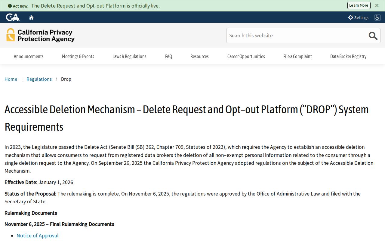
Regulatory information is useful when a compiled data result needs a privacy response, but it does not make a private person searchable through a city map.
The agency's 2025 DROP announcement explains the rollout.
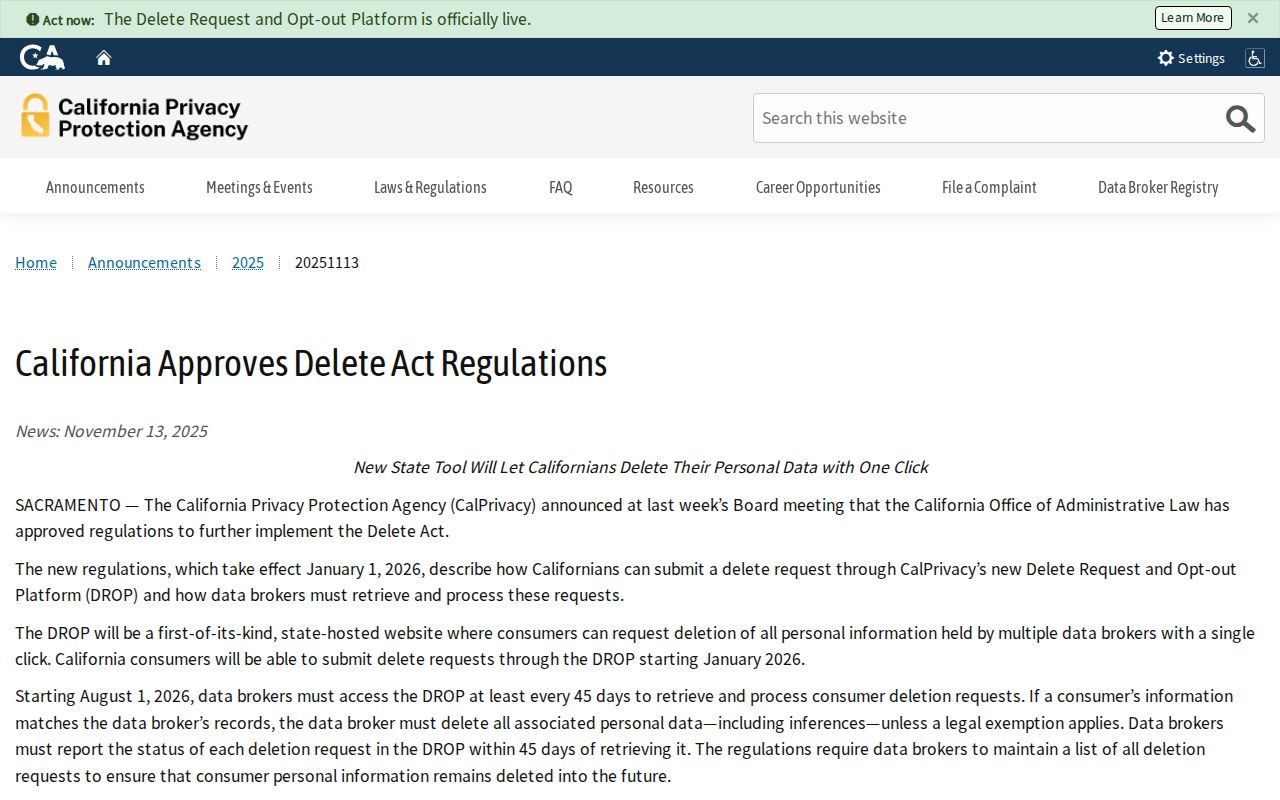
The platform addresses registered brokers and their processing duties. It leaves official Vista records with the offices that created or keep them.
A separate enforcement announcement shows that broker oversight is an active state program.
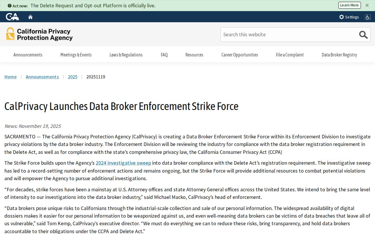
Use a block lookup for lawful personal, family, civic, and safety research. Never use address or parcel information to stalk, harass, threaten, intimidate, or harm anyone.
Lawful use. A map of adjoining parcels is not permission to watch or contact people. Verify a defined record with its custodian and respect protected addresses and personal boundaries.